THE MAROON COMMUNITIES
Maroon Tours
THE COMMUNITIES
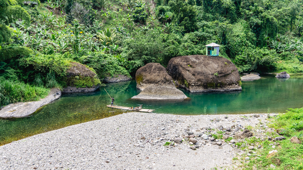
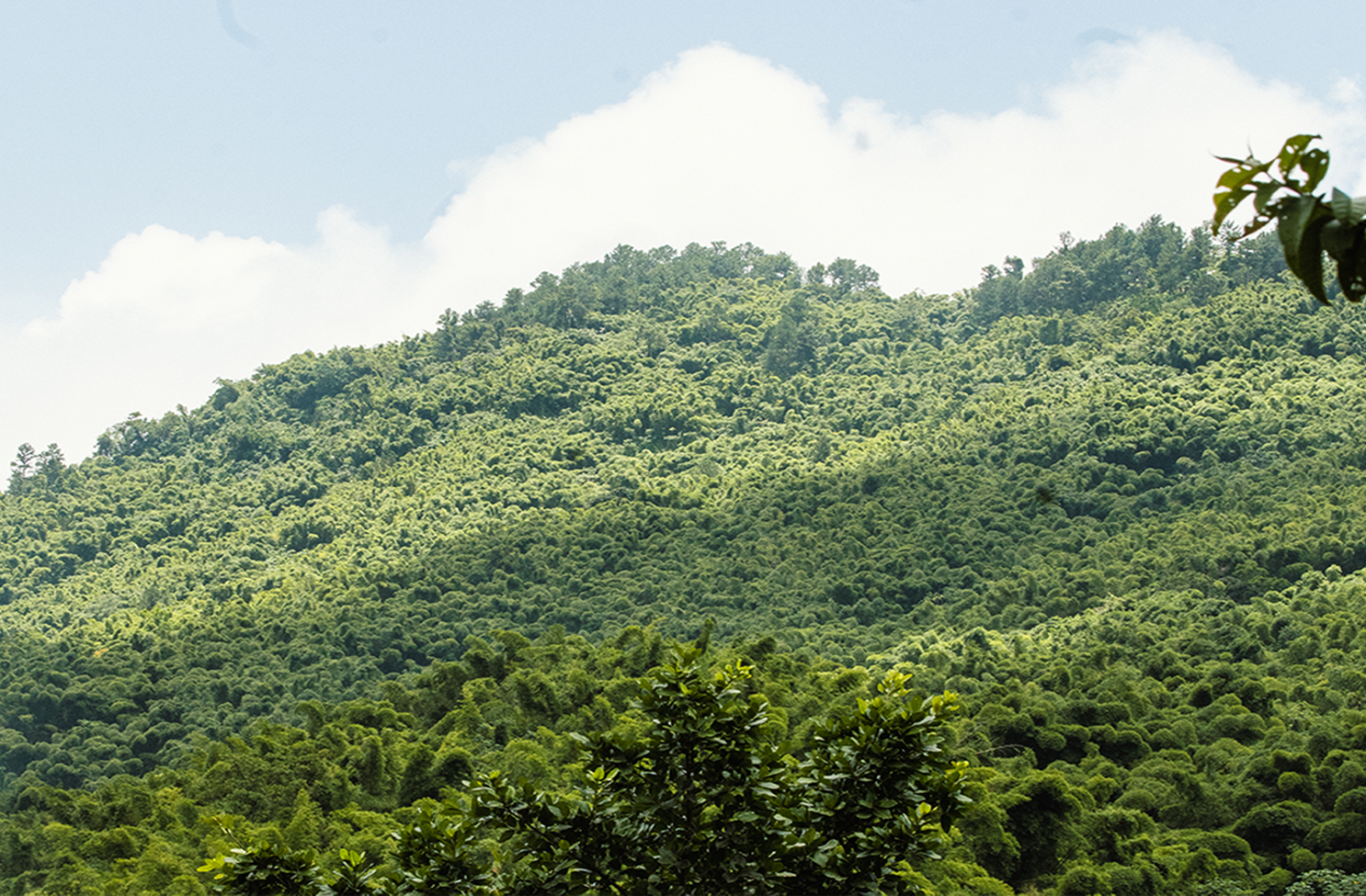
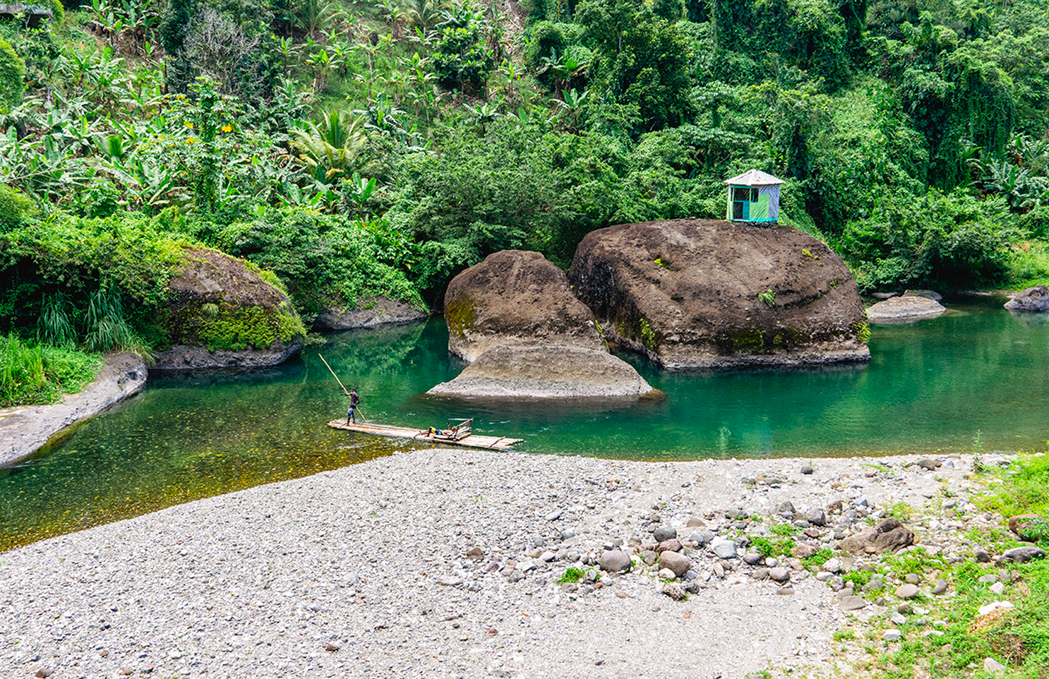
The Windward Maroons can be found in the communities of Comfort Castle, Cornwall Barracks, Ginger House, Mill Bank, Windsor, and Moore Town in the Rio Grande Valley, Charles Town in the Buff Bay Valley, Scott’s Hall in the Wag Water River Valley and Hayfield in St Thomas. These communities have formed tour groups that are members of the Rio Grande Maroon Heritage Preservation (RGMHP) Co-Operative Society Limited and offer various tour options for interested individuals.
Comfort castle
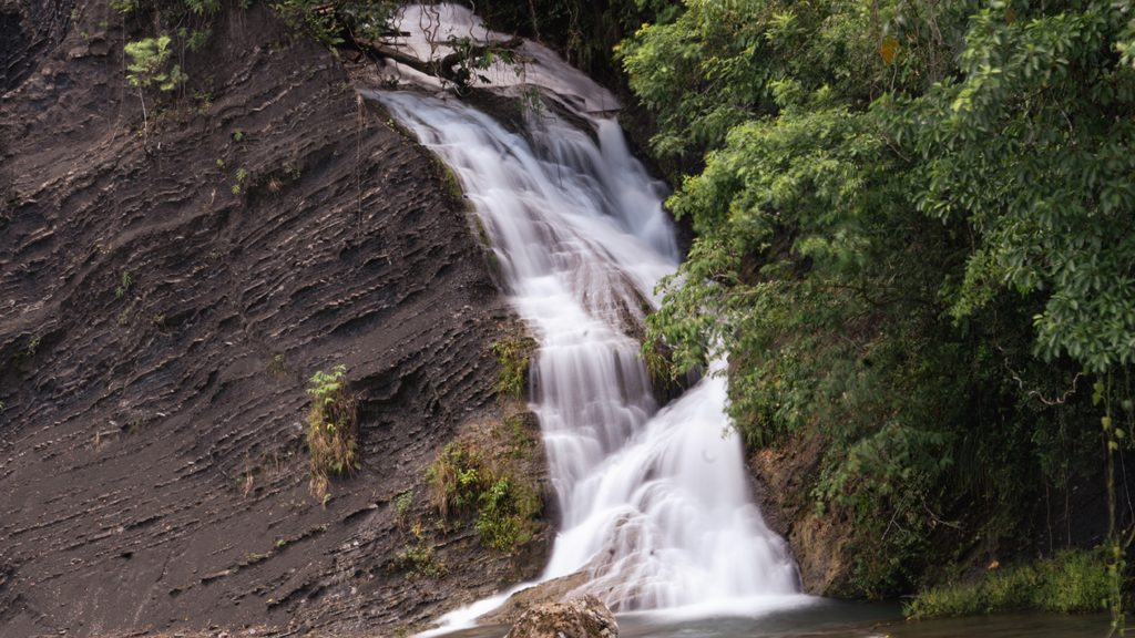
The community sits in the valley between the Marshalls Hall and “Bruk Weh” mountain region and is sandwiched in the west by the Dry River and in the east by the Rio Grande River. Best River Falls is a waterfall that flows into the Rio Grande and is easily accessible from the main road that connects the community. The Dry River Falls flows in the Dry River and can be accessed through a guide-led trail that is made up of mostly stable “Abu” rock, with a few areas of mud.
Comfort Castle is located in the hills of the parish of Portland and is bordered by the communities of Cornwall Barracks (across the Rio Grande), Ginger House in the northwest, and Millbank in the southeast. The community of Comfort castle became a Maroon community when members of Old Nanny Town and other Maroon communities settled there. The area was already established and was included in Nanny’s patent when she requested more lands in the 1735 peace treaty documents.
Cornwall Barracks
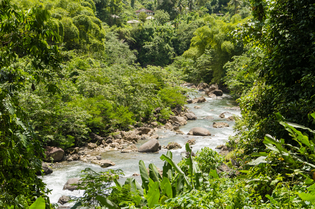
The community sits on a relatively flat area with a gradual increase in elevation. It is separated from Ginger House by the Rio Grande River and is connected by a swinging bridge between the two communities. The points of interest are easily accessible by a stable, clearly identified, walking trail from the Basic School to the Swinging Bridge. Along the trail, there are a few streams that run into the Rio Grande River with larger boulders closer to Cistern Spring Falls.
Cornwall Barracks is located in the parish of Portland and is bordered by the communities of Ginger House in the southwest and Moore Town in the northwest. It can be accessed by travelling on the road to Moore Town but then veering south-east before entering Moore Town Proper, and going up over a hill and down towards the Rio Grande.
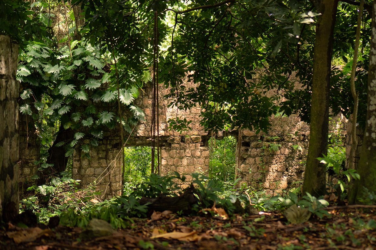
The construction of Cornwall Barracks (then called Moore Town Barracks) was commissioned in 1801 as a part of General Nugent’s Barracks Act. It was one of two barracks that the General had ordered to be built near Maroon towns (the other was near Charles Town), and was to accommodate 100 men. The barracks were completed in 1806 and was a reactive action to the then government’s fear that the Maroon communities might initiate another rebellion such as the one that had previously occurred in Cudjoe Town/Trelawny Town Maroons in 1795.
After the British Barracks was closed in 1816, the lands continued to be occupied by the Maroons of Moore Town. Cornwall Barracks Maroons viewed themselves as a distinct group but acknowledge their kinship with Moore Town Maroons. Over the years, some of these Maroons of Cornwall Barracks became pen-keepers, maintaining their herds on the steep rocky terraces of the John Crow Mountains, some of them acquired some amount of wealth, enabling them to live quite well in properly designed wooden houses.
Ginger House
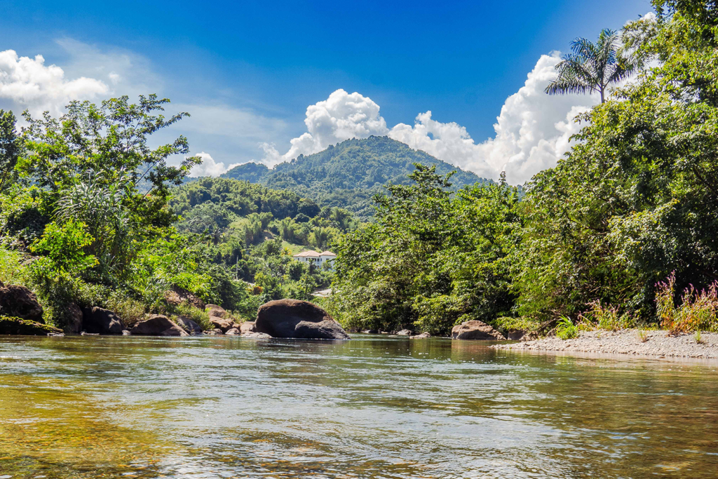
The community has access to Annie River (a tributary of the Rio Grande), Dry River and the Rio Grande River. The various points of interest can be accessed by a rugged road. The trails to the site are easily accessed from this main road that runs through the community, however they are unmarked thus visitors would need to be led by a tour guide. The majority of these trails are stable, while there are a few rocks that may require some climbing.
Ginger House is located in the parish of Portland and is bordered by the communities of Cornwall Barracks and Comfort Castle. It was founded by members of the Old Nanny Town community, particularly the Fuller clan.
Hayfield
The community of Hayfield sits in the hills overlooking the Plantain Garden River- the only river in Jamaica that does not flow in a northerly or southerly direction but rather west to east. The trails to the various points of interest are partially accessible by the rugged community roads. The remaining path is easily accessible by foot over stable, marble- like and shale-like rocks, however the trails are unmarked and would thus require the assistance of a tour guide.
Hayfield is located on the western side of St. Thomas and is located north of the communities of Sunning Hill, Potosi and Bath. It was established by the Old Nanny Town Maroons as a layover for when they were doing business with persons on the nearby estates and when they went to hunt as the 18-mile journey from Nanny Town proved to be inconvenient to be completed in one day.
Moore Town
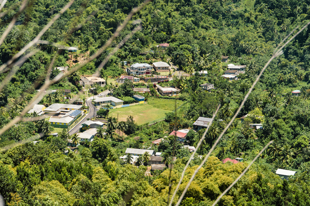
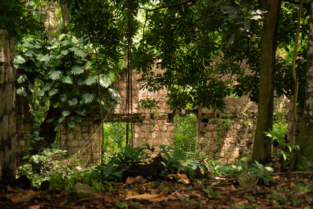
The community is located along the Wild Cane River, which is a tributary of the Rio Grande River. The trail to the Nanny Falls is made up of an obvious trail of stable rock that is easily accessed by vehicle to the basic school, and by foot from the basic school to the falls.
The community of Moore Town is located in the parish of Portland and is located north of the community of Cornwall Barracks and south of Windsor. Formerly New Nanny Town, Moore Town is the home of the Moore Town Maroons and was led by Nanny of the Maroons, Jamaica’s only female national hero. The Maroons of Nanny Town were first allotted 500 acres of land after the signing of the Peace Treaty in 1739/1740. “Granny Nanny” saw the need for more land and made a request to the British government in 1781. There was an allotment of 1,270 acres of land which was called . Due to misunderstanding and errors, the town name was recorded as Moretown in the survey document as Muretown and later Moore Town. Maroons also live in neighbouring Cornwall Barracks.
MillBank
The community is located in the Upper Rio Grande Valley and has several tributaries of the Rio Grande River, namely:White River, Jacob River, Matty River, Lime Wash River and Quaco River.
The community of Millbank is located in the parish of Portland fifteen (15) miles from Port Antonio. It is bordered by the community of Comfort Castle in the north. It was established by members of the Moore Town Maroons in the past.

Scott’s Hall
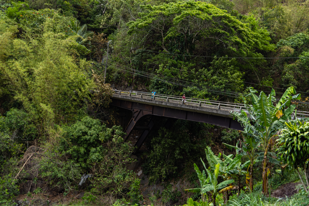
Scott’s Hall is situated in the south-eastern region of the hills of St. Mary. It has several tributaries to Wag Water River and is the easiest point of access to the Bowling Falls
Located in the parish of St Mary along the hills along the Wag Water River and Flint River and about 15 minutes away from Castleton Gardens. Scott’s Hall was established when 26 individuals from the Crawford Town Maroons formed Negro Town close to an area referred to as Scott’s Hall sometime between 1951 and 1753. As the settlement grew it became referred to as Scott’s Hall.
Scott’s Hall is thought to be the most secretive of the Maroon villages. It is also considered to be the ‘hospital’ of the Maroon, as people were sent to this area to heal when they were sick or wounded. It was also the hardest to locate and that was strategic
Windsor
Windsor is located in the flat area near the Dons River, a tributary to the Rio Grande River. The trail area is partly accessible by road through a relatively well-maintained community road. The trail to the Tenants Field Falls are distinguishable although they are unmarked. They are made up of stable rock with few gentle inclines.
Windsor is located north of the community of Seamans Valley and Breastworks.It is the one point in the Rio Grande Valley where both the Blue and John Crow Mountains and the John Crow Mountain Range can be easily accessed.
